Arid Zone Precision
Rigorous environmental impact assessments tailored for the world's most demanding industrial environments.
Desert Impact Methodologies
Operational Protocol v4.2
Hydro-Topographical Alignment
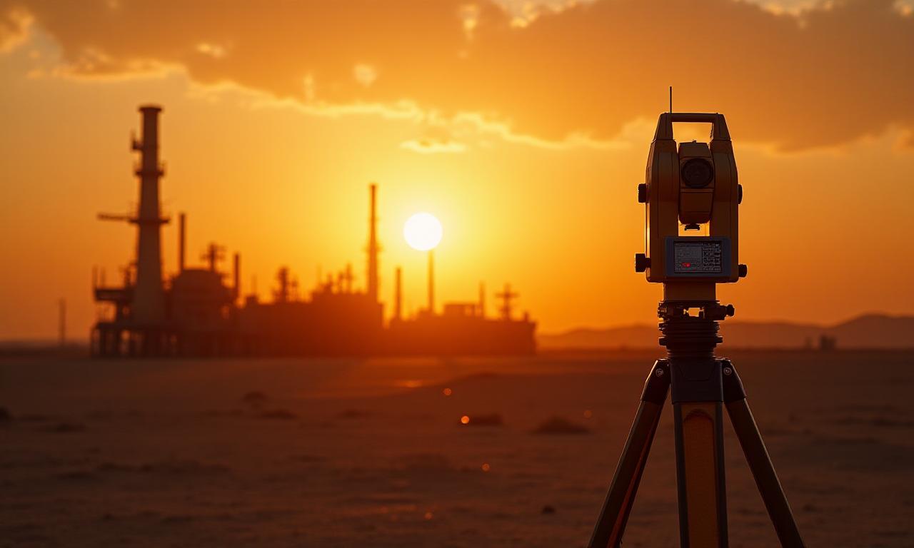
We execute high-fidelity topographical mapping combined with sub-surface water-table risk analysis. How do you protect what you cannot see? We've managed over 45 deep-strata assessments in the last year alone.
Micro-Climate Emission Modeling
Heat-wash and particulate dispersal behave differently in arid zones. Our specialized modeling predicts disruption patterns with 98% accuracy based on local thermal currents.
Flora/Fauna Disruption Indexing
We don't just list species; we index resilience. Our team catalogs sensitive desert biomes to ensure your operational efficiency doesn't come at the cost of irreversible ecological collapse.
The Data Deficit
Why guess when we have the metrics?
Hectares Surveyed
A massive footprint of empirical data across semi-arid territories, ensuring your project sits on a foundation of verifiable environmental facts.
Compliance Failures
In 12 years of operation, DssrtLyx has maintained a perfect record with local environmental ministries. We don't just meet standards; we set them.
Ready to Audit?
Don't wait for a regulatory penalty to discover the gaps in your impact strategy. Our team is ready to deploy immediately to your site. We're committed to your success.
Request Assessment